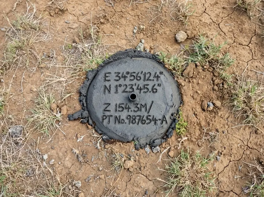
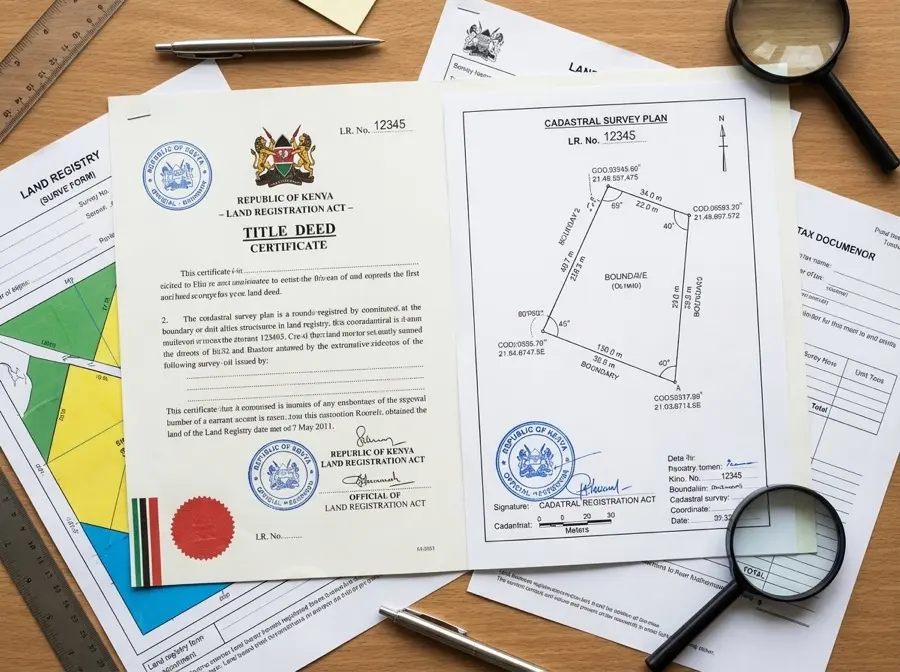
01Cadastral SurveysTitle deeds & boundaries
→
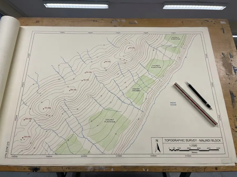
02Topographic SurveysTerrain & site planning
→
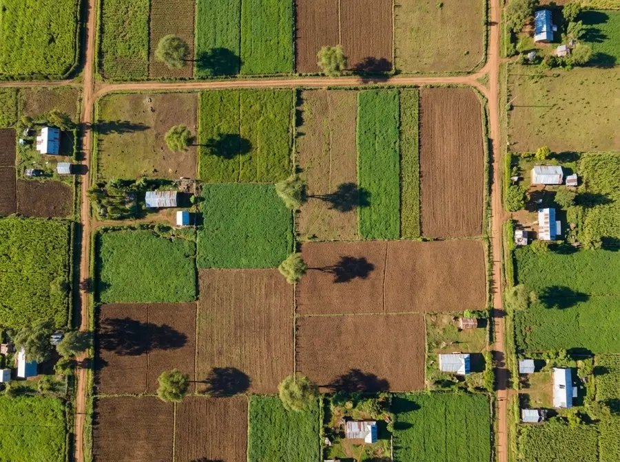
03Drone & Aerial SurveysPhotogrammetry & mapping
→
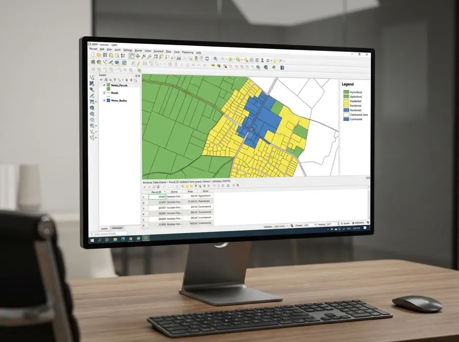
04GIS & Spatial DataSystems for counties
→
05Boundary VerificationDue diligence
→
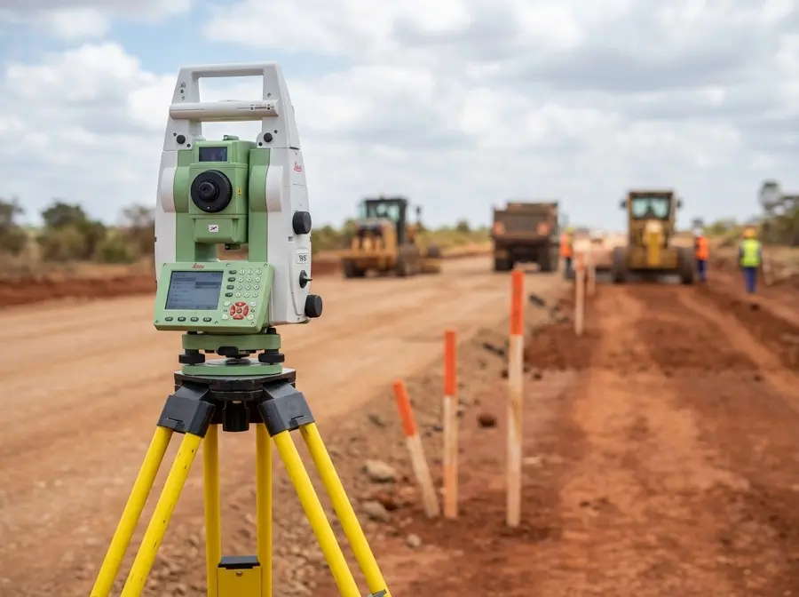
06Engineering SurveysRoads & construction
→
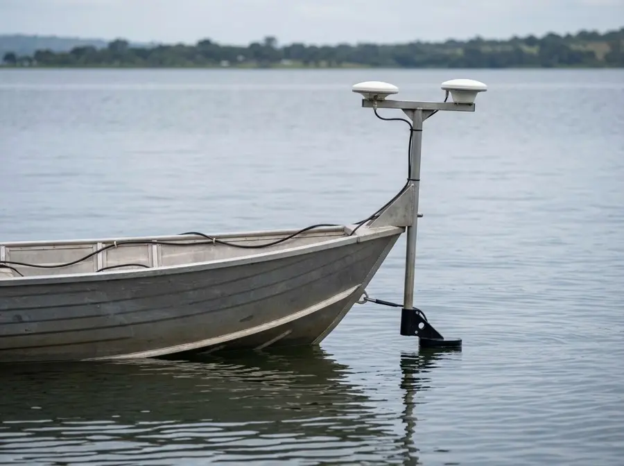
07Hydrographic SurveysWater & coastal
→
Additional specialized services
Sectional property surveys (apartments)
Wayleave & easement surveys
Utility detection
Mining volume surveys
Deformation monitoring