// Featured projects
Work we'll stake our name on.

// Public sector
A trusted government partner.
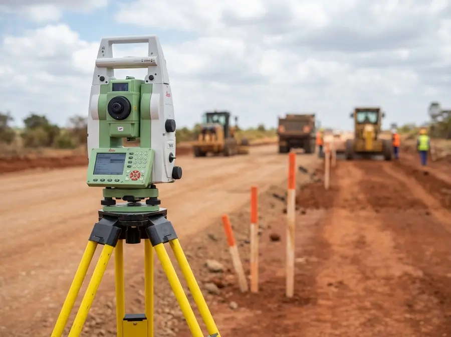
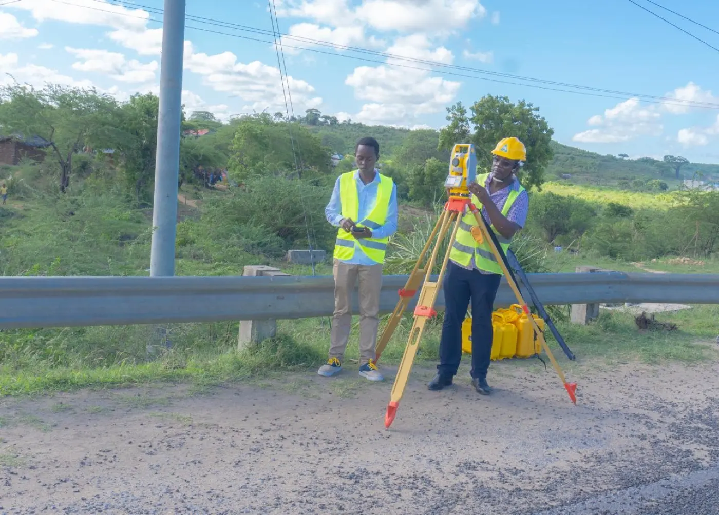
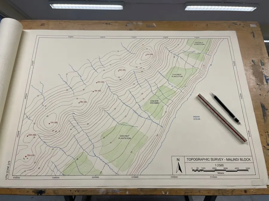
Our work with the Kenya Rural Roads Authority (KeRRA) and Kilifi County Government demonstrates our capability to deliver large-scale infrastructure with precision and reliability — surveys that consistently pass government review on first submission.
KeRRA Projects
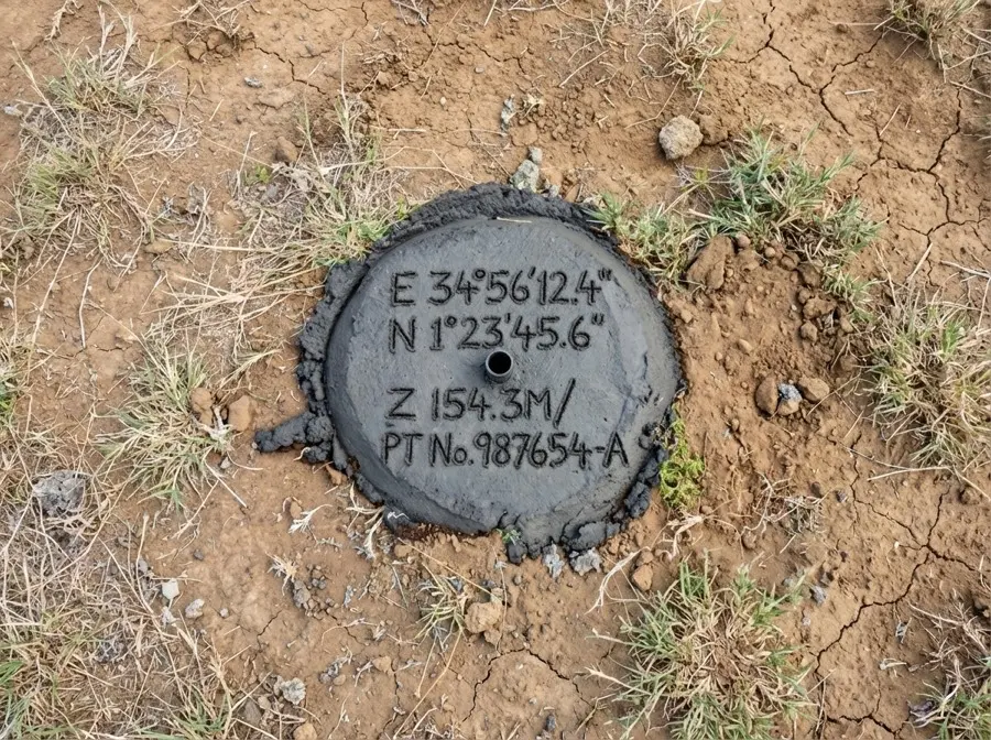
Multiple road rehabilitation surveys across Kilifi County, all meeting the Kenya Road Design Manual 2025.
County Partnership
Six years of trusted collaboration with Kilifi County Government on GIS systems and infrastructure surveys.
Strong Approval Record
Surveys consistently pass government review on first submission — quality that meets standards the first time.